
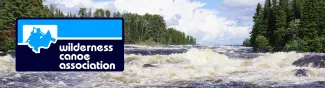


Black River Washago Paddle and Camp
Submitted by Zen.camper
on
Outing Type →
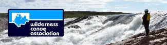
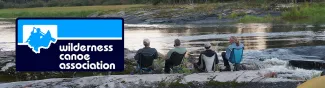
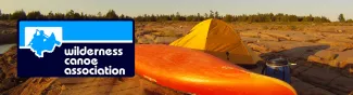
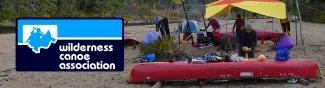
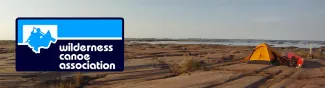
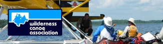
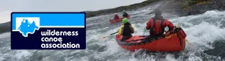
Come for the day or the weekend. Class I-II learning river. Great for beginners to learn basic white water skills with a couple more challenging sections which can be skipped. My paddle partner and I will be camping on the river at Black River Wilderness reserve. We will be at Island 2 - Site 1 if you'd like to book a nearby or adjacent site.
The weather looks amazing and water levels still good.