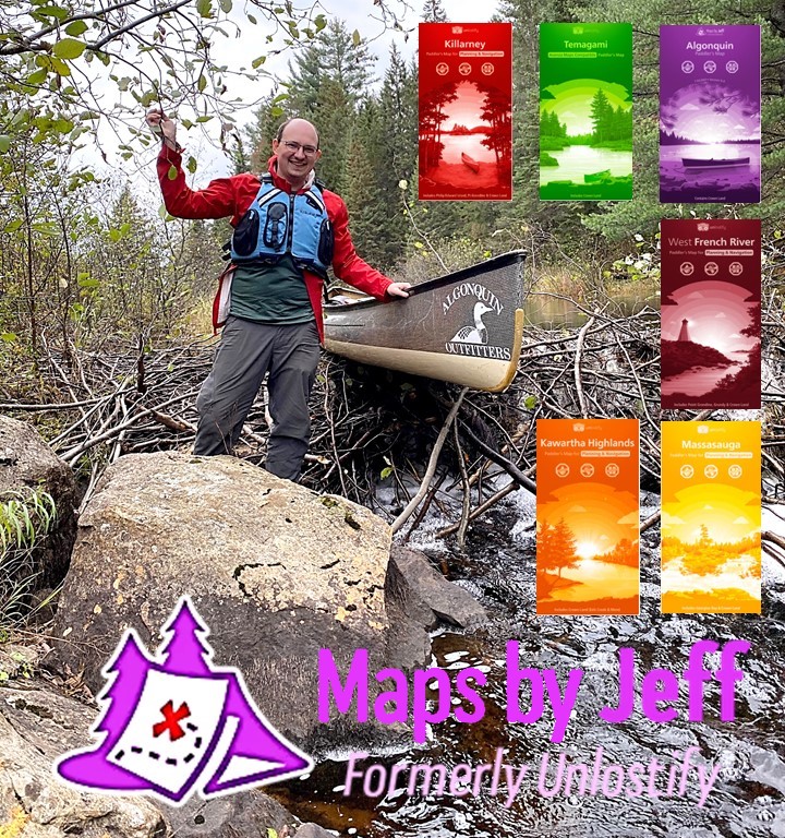


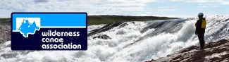
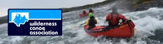
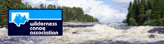

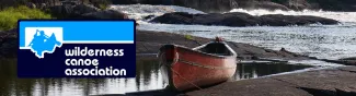

Maps play a pivotal role in the paddling experience. We use them to plan our trips, to navigate, and even to reminisce about the places we’ve been and the experiences we’ve had. Join Jeff, an avid paddler and mapmaker, as he explores the special relationship between maps and paddling, as well as the journey that lead to him creating his own series of maps.
Jeff McMurtrie is a paddler turned mapmaker. He got his start tripping through Algonquin at the age of 8 when his father took him on a weeklong trip. Once he was 15, he planned his first trip with a friend from school, which, as it turned out, was quite the ‘adventure’. That inadvertently lead to the start of his mapmaking career, as it inspired Jeff to create the most accurate and detailed map of the park ever created.
Join Zoom Presentation on Wednesday, Jan 31, 2024 at 7 pm
https://us02web.zoom.us/j/83295943134
Meeting ID: 832 9594 3134